Welcome
Blue Hills Reservation
Municipal Parks
Master Plan
Powers Farm
Ponkapoag Pond
Boardwalk & Park Place
Mobility Hubs
    Randolph Emerald Necklace >> Municipal Parks >> South Randolph


    South Randolph Municipal Parks

    Opening access to our conservation areas


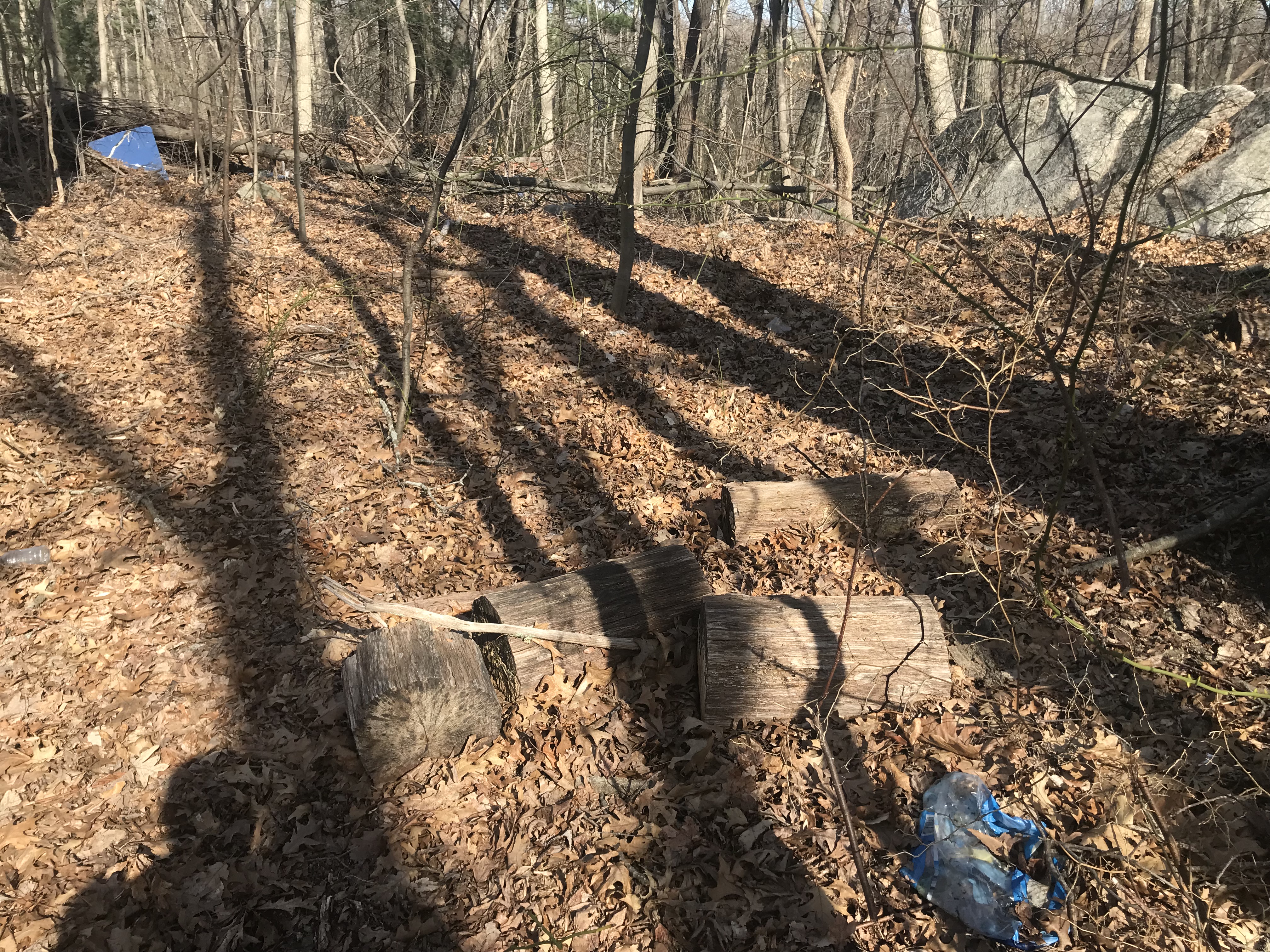
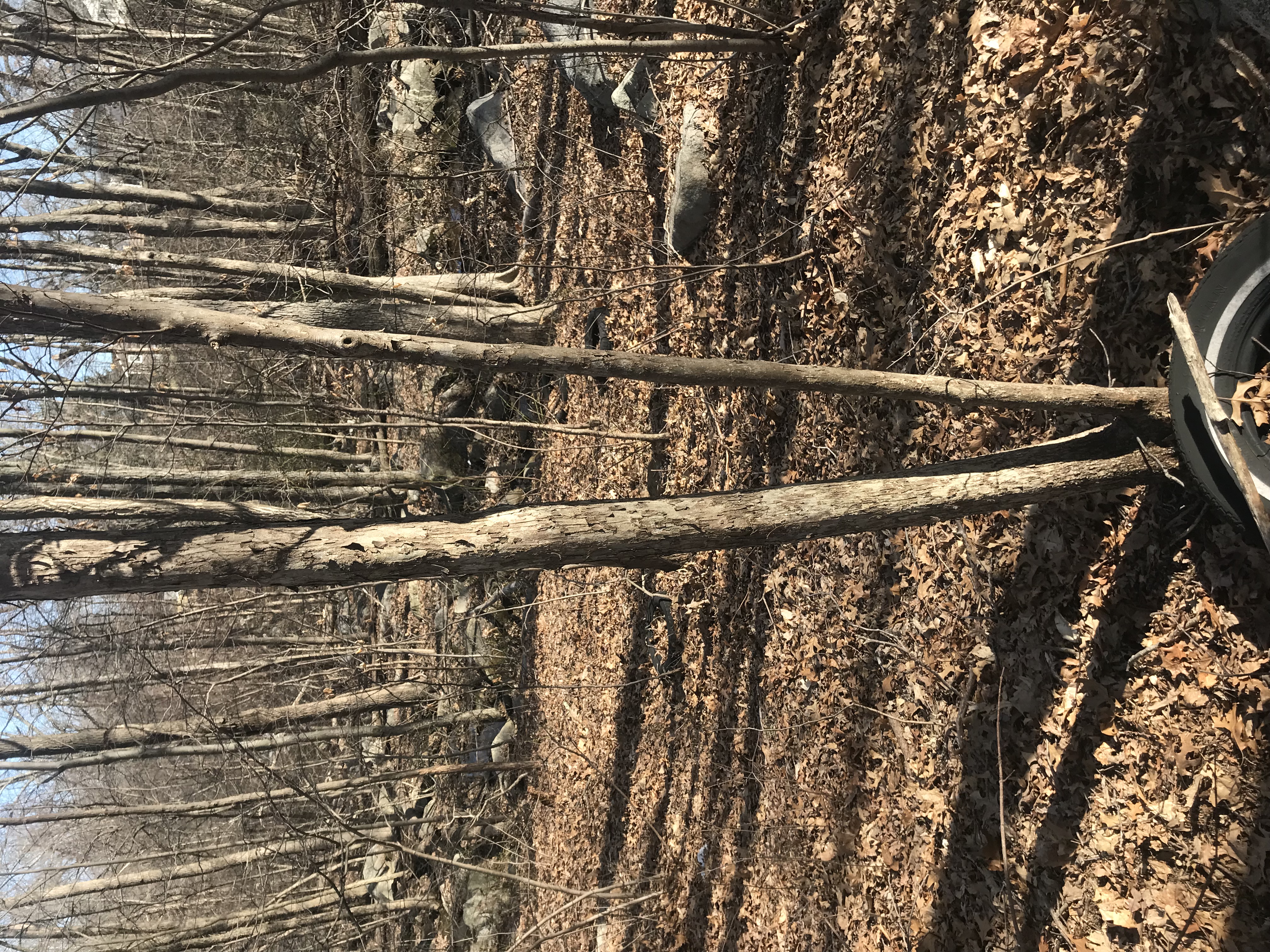
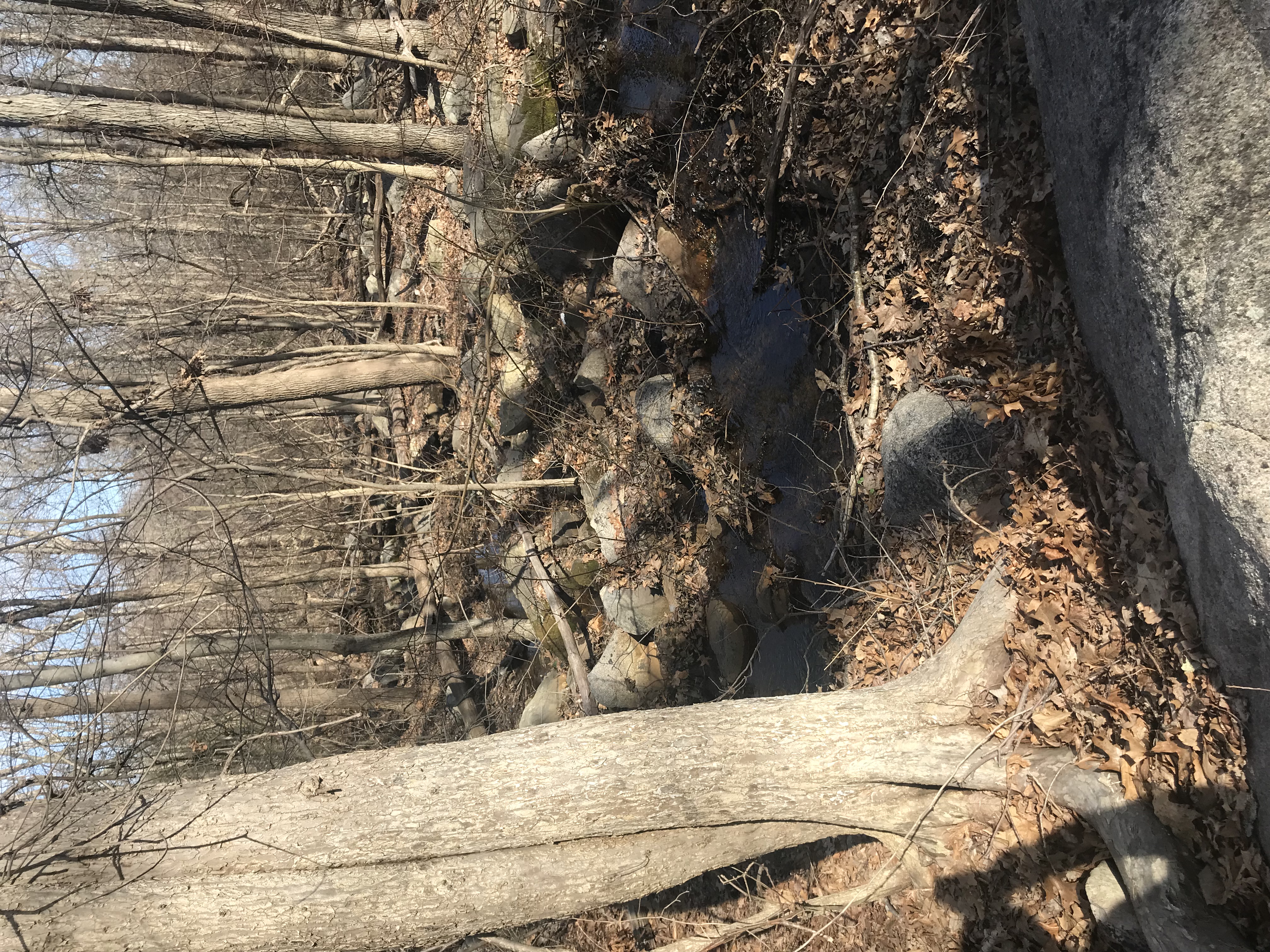
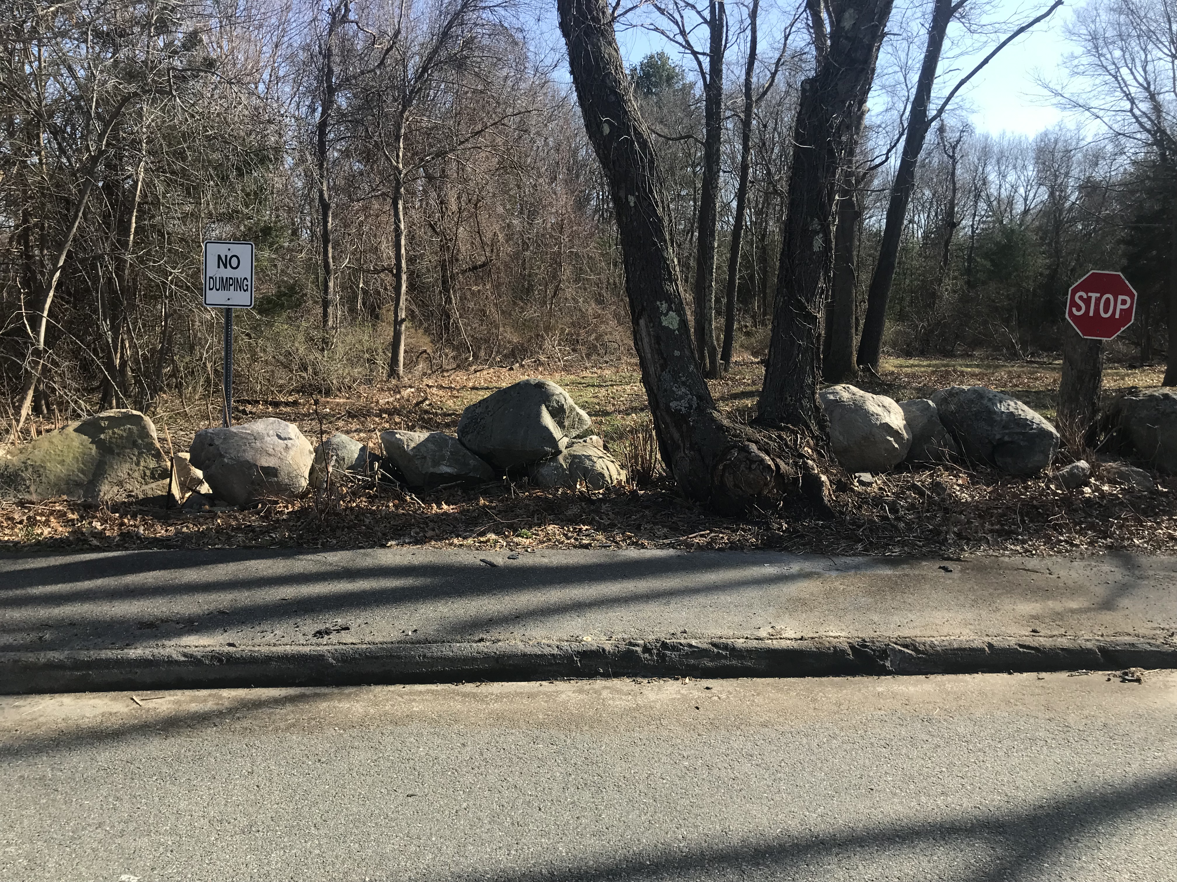
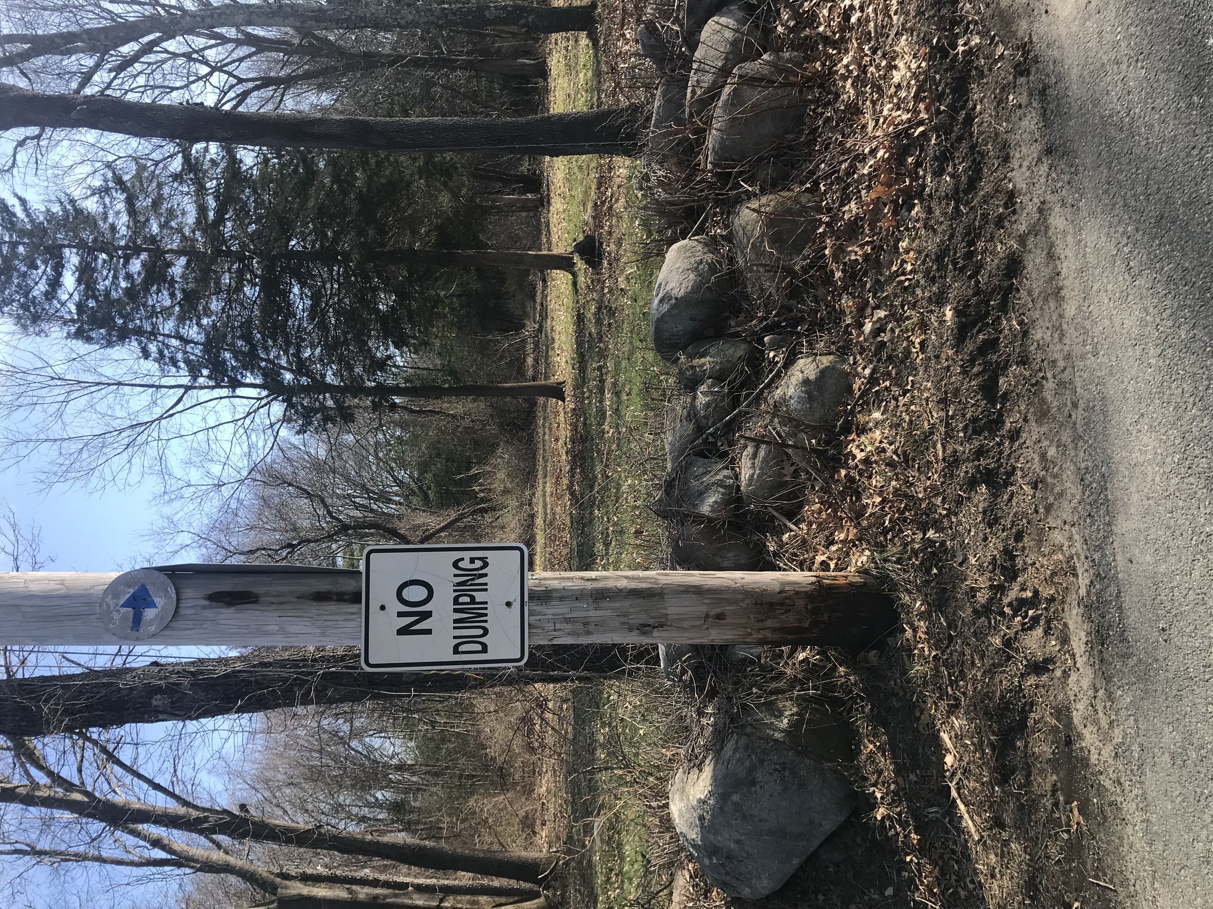
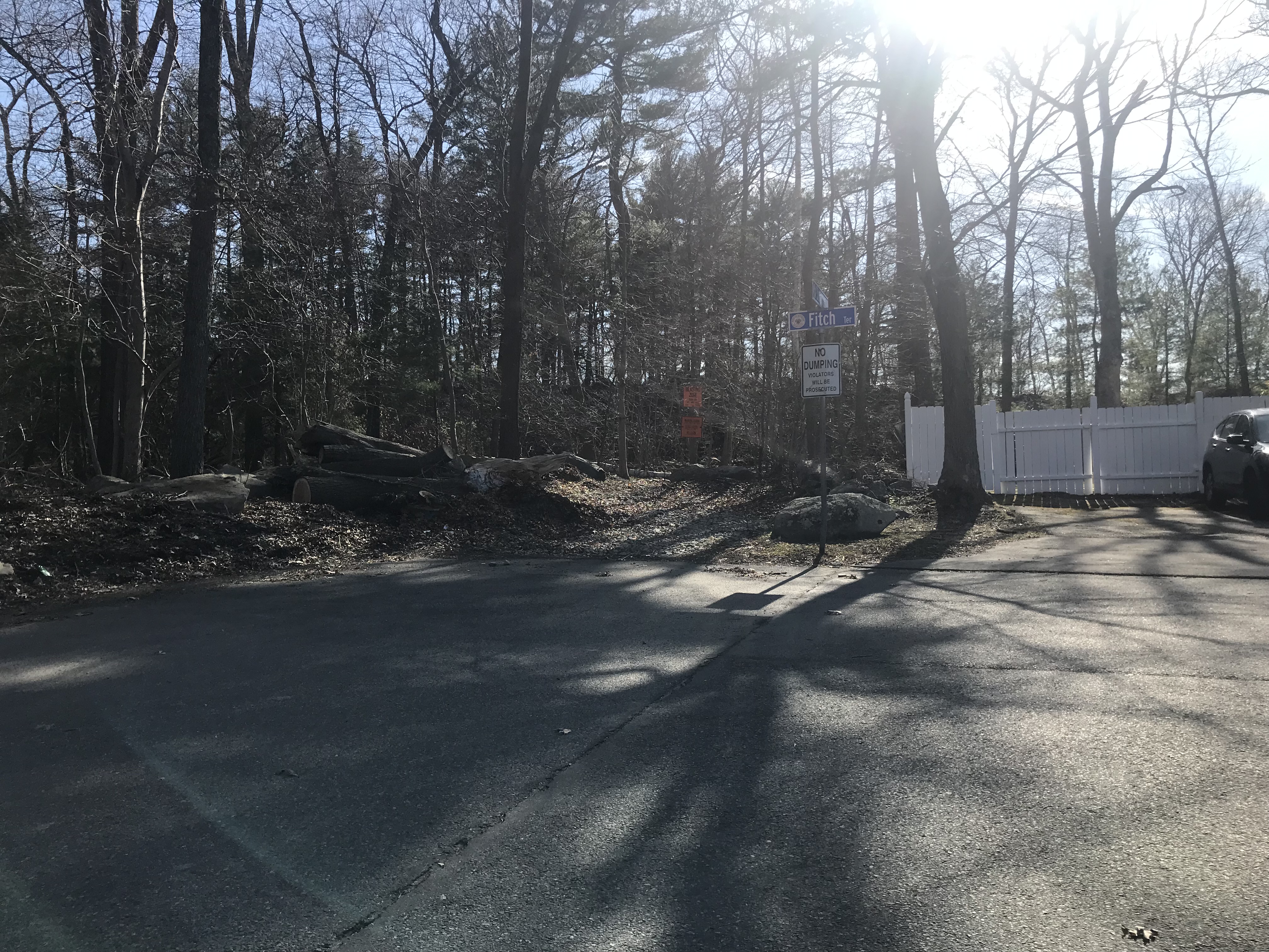
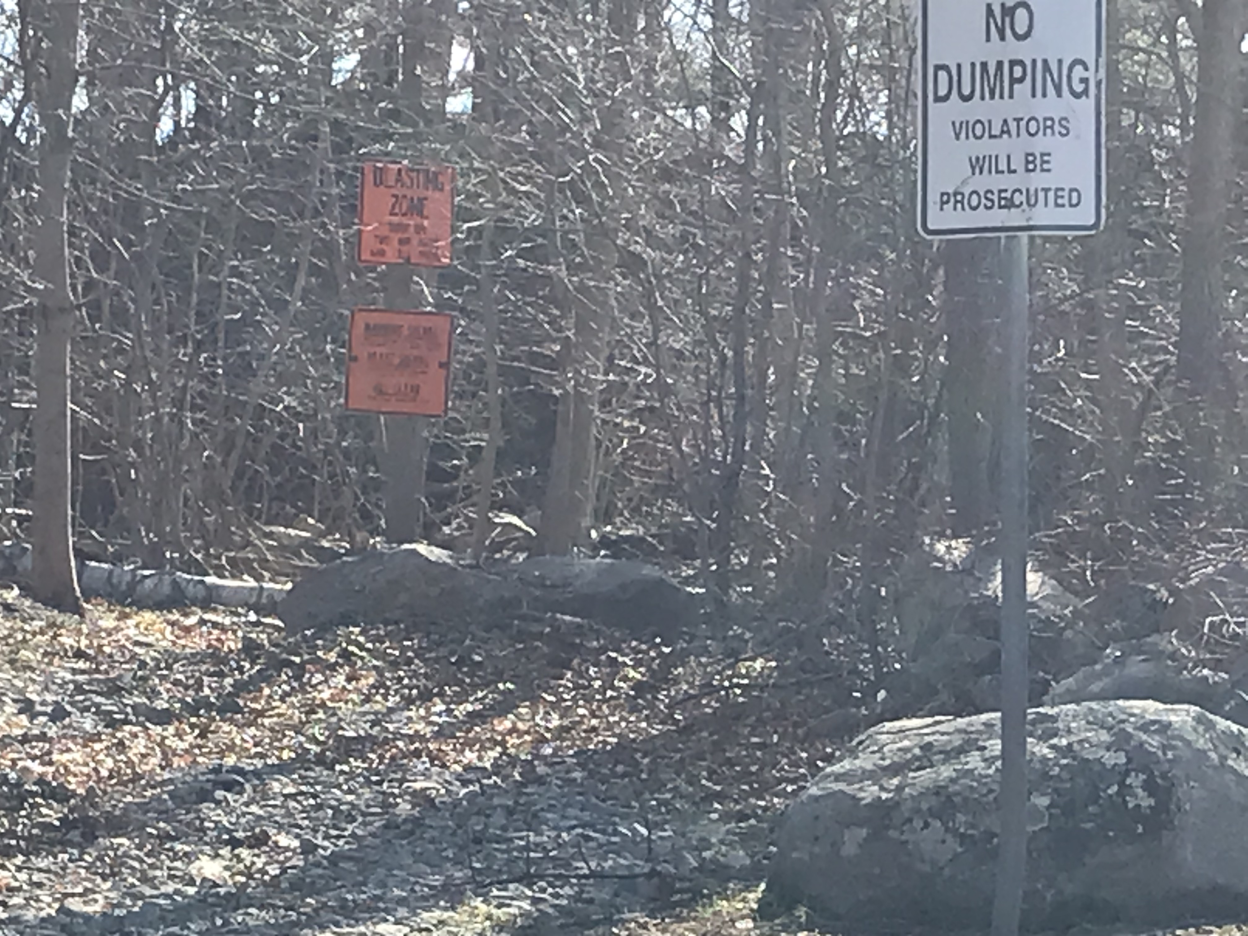
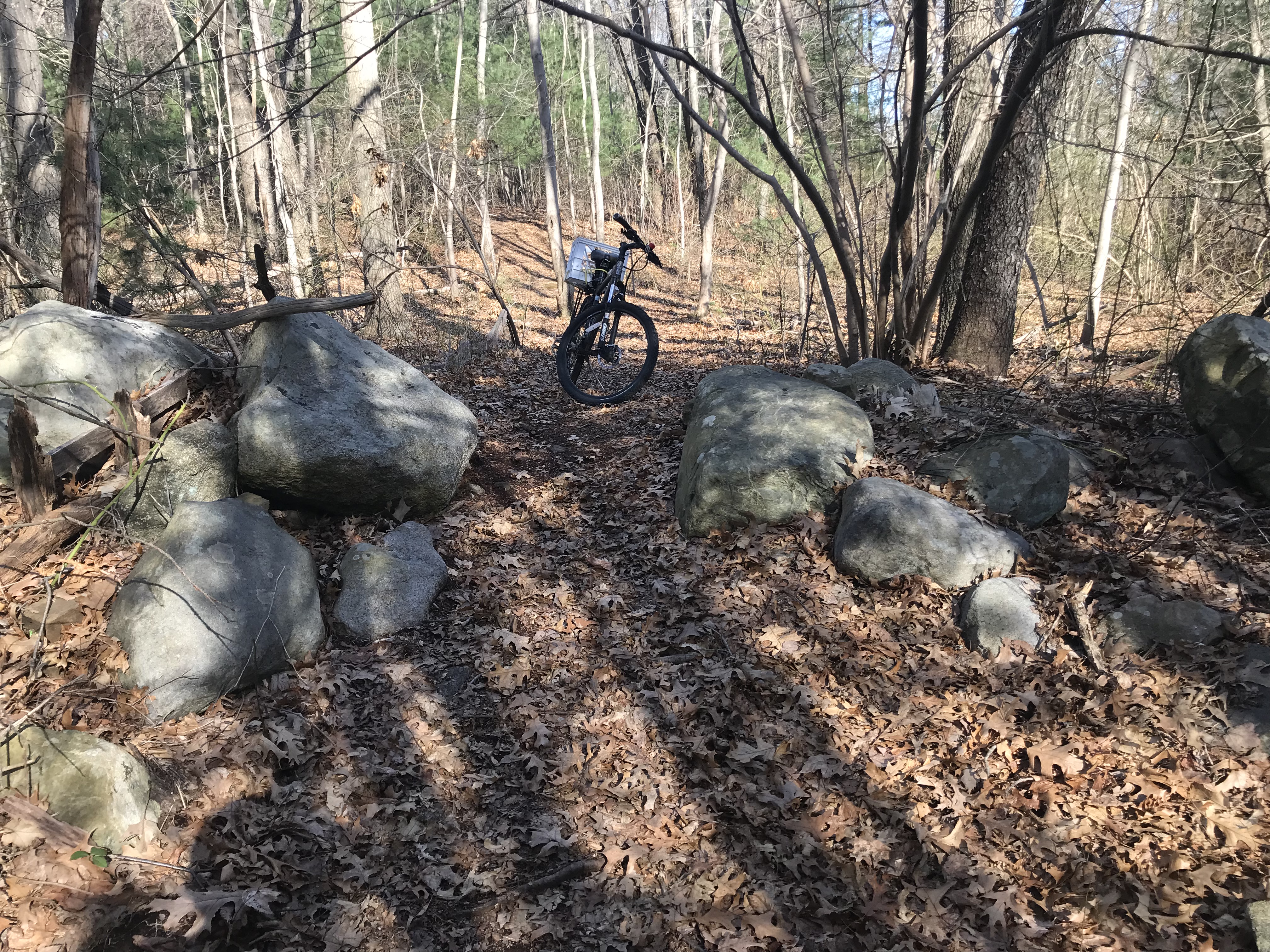
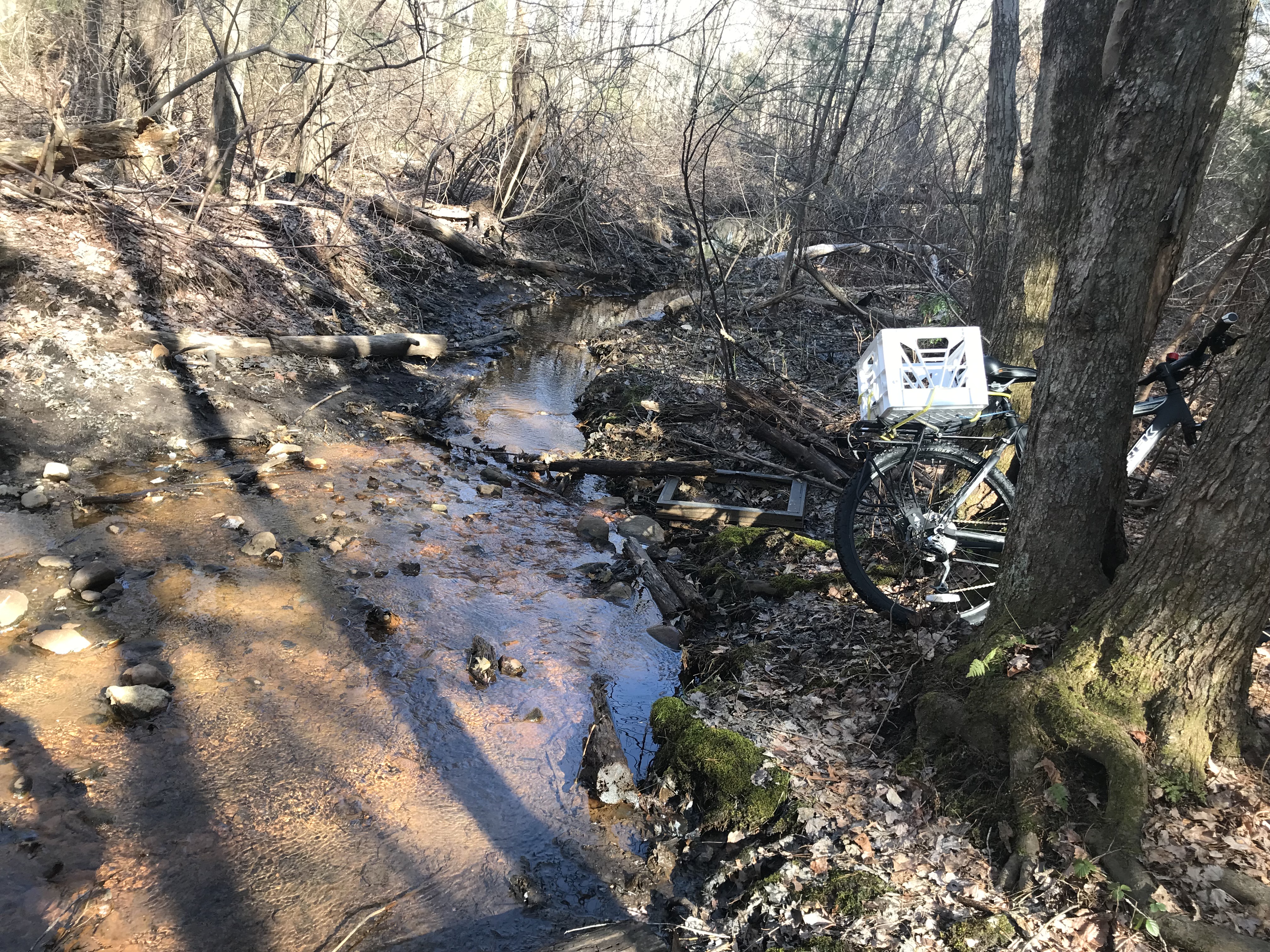
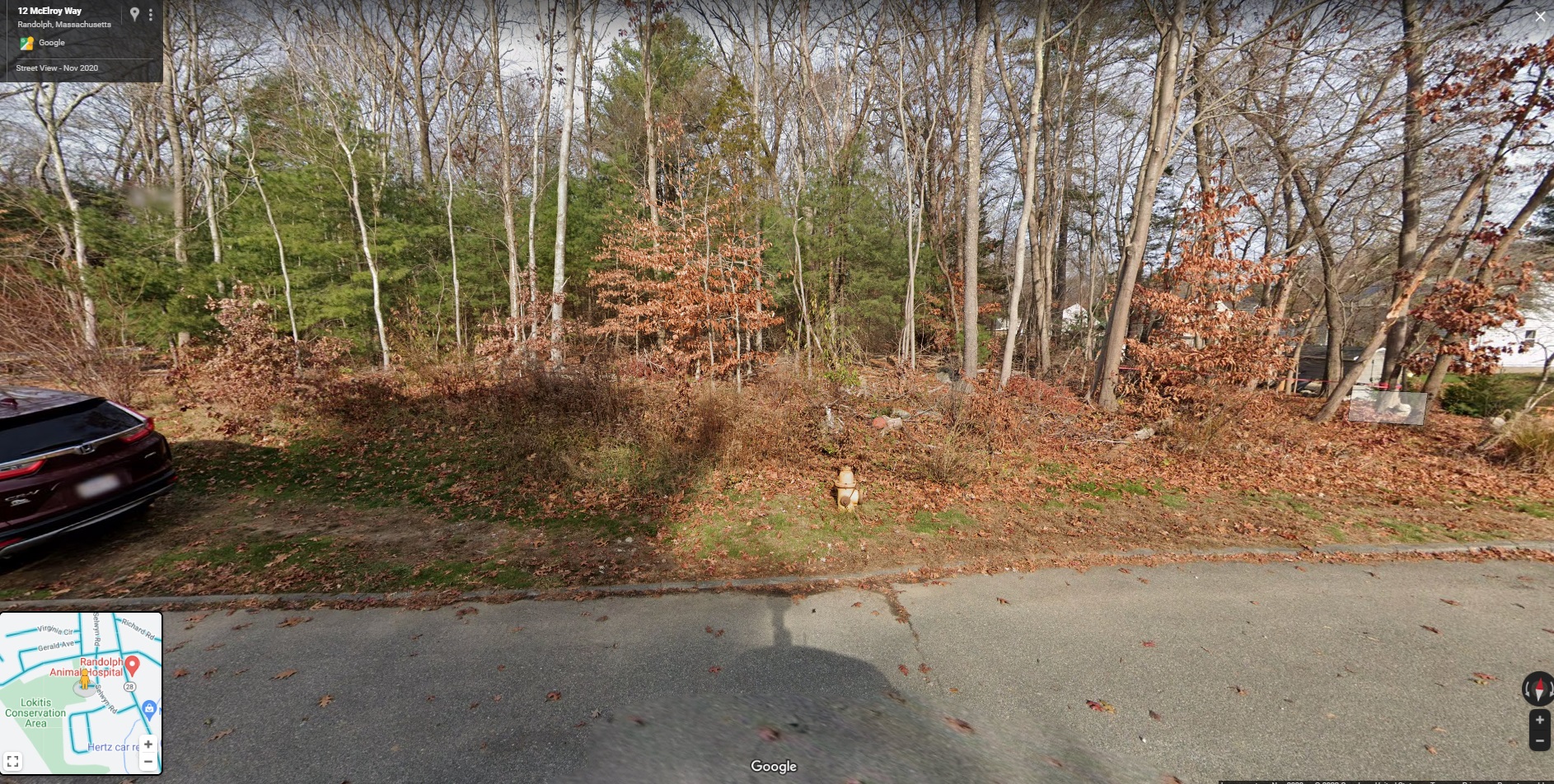
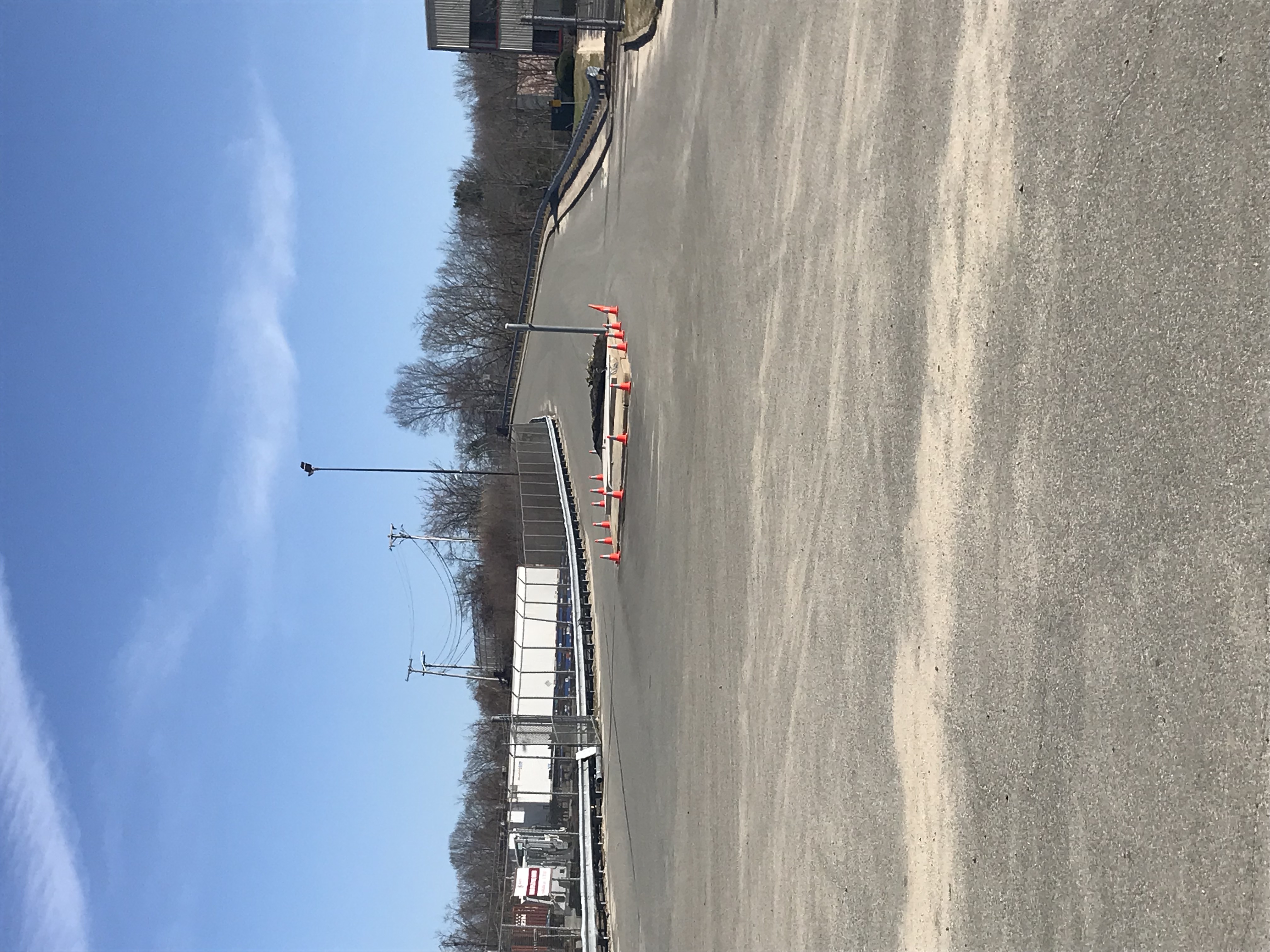
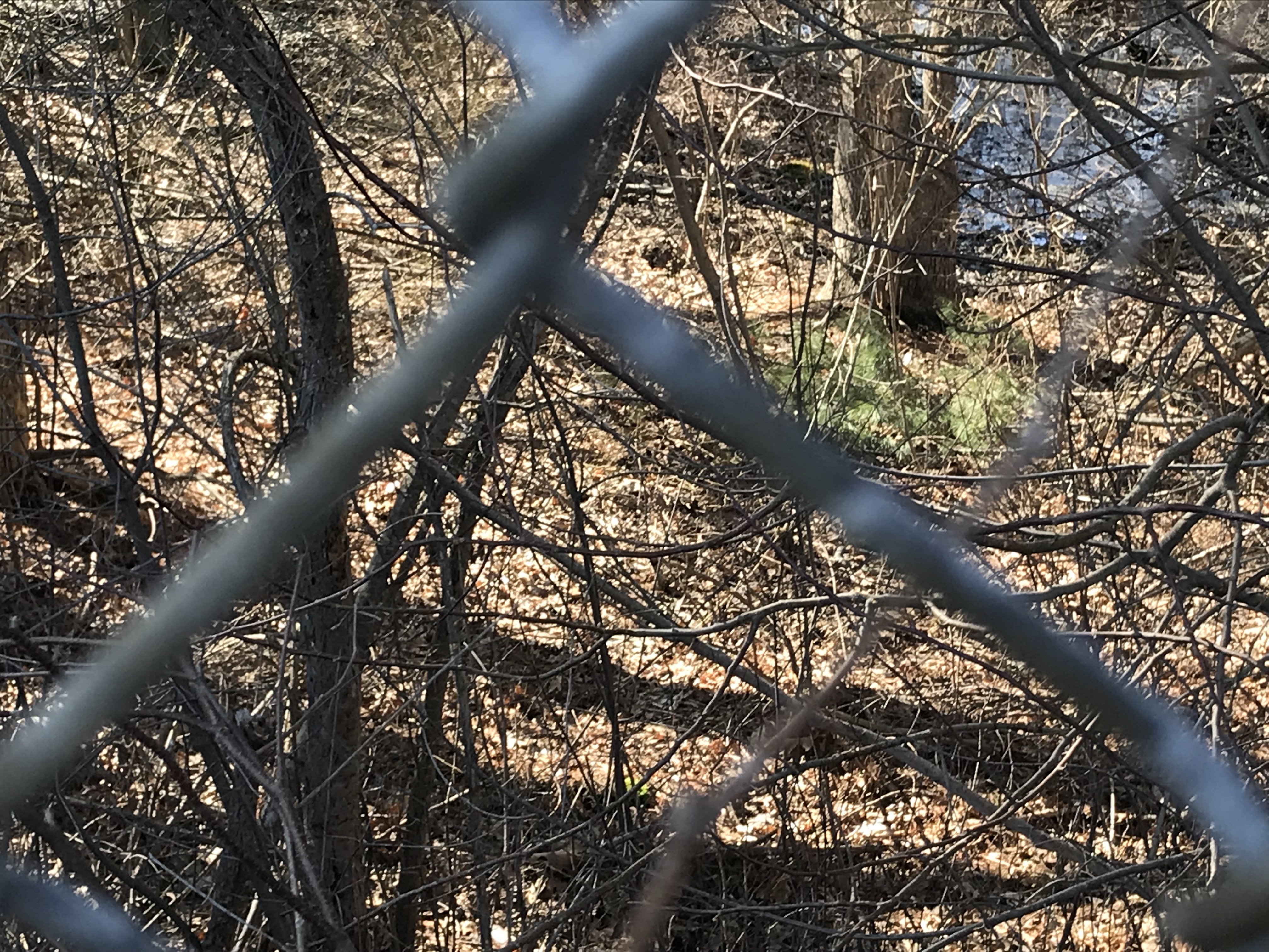
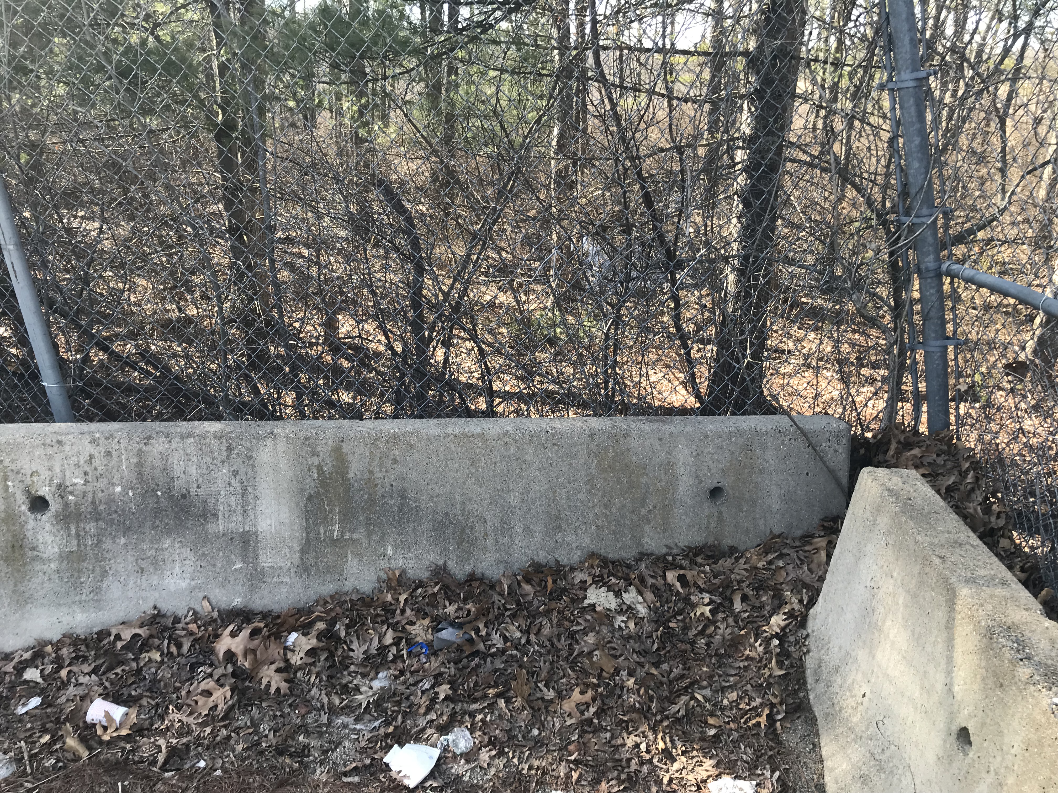
Thousands of Randolph residents live within walking distance of two conservation areas in South Randolph, but even some close neighbors don't realize how close they live. That's because there are few signs, no "Welcome to Your Conservation Area" map, lots of "No Dumping" signs and blocked entrances -- all leading Randolph residents to stay out for decades.

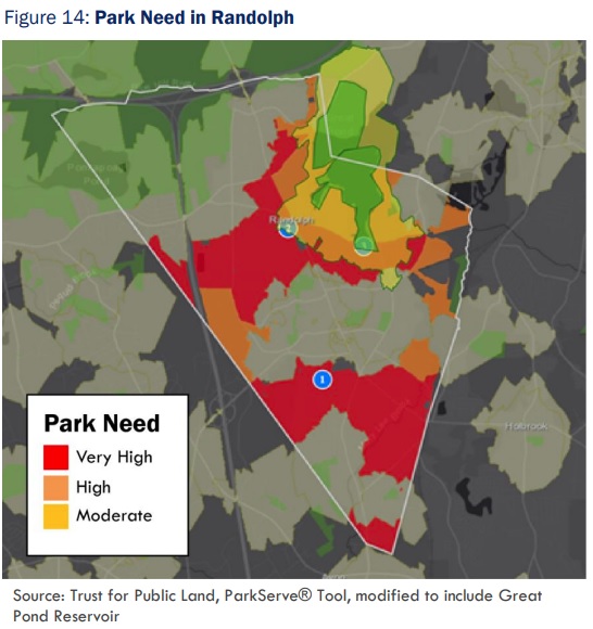
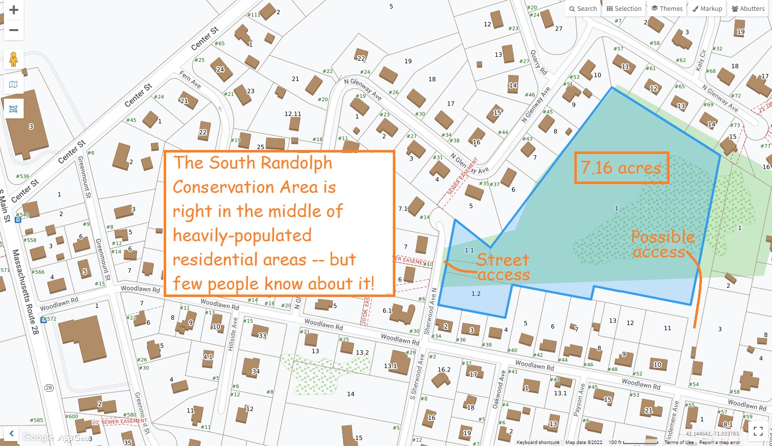
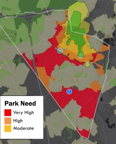
Take a look at the park map from the Randolph Community Wellness Plan (shown above right). It shows the two conservation areas in South Randolph -- the Lokitis Conservation Area and the South Randolph Conservation Area -- they're the two green oases (parks) amidst a sea of red (high need for parks). But a park can only act as an oasis if people know that they're there -- and most residents are unaware of these parks' existence!

Don't believe that people are unaware about their nearest parks? Think about if YOU have been to these two Conservation Areas -- I barely knew about them after two decades in Randolph! I presented this plan to some South Randolph residents and one said, "I go right past the Lokitis Conservation Area on my daily walk and I never knew its name nor that it was a public park." Another resident said, "I live even closer to it, and I never even noticed it at all!"

How do we fix this? One park at a time -- we can add signs and parking places and cleaned-up park entrances -- this page is the plan to get started. Future plans will address several other Conservation Areas around Randolph -- we have a dozen parks like this, all of which are PUBLIC parks but inaccessible or unknown to the public. Let's get started -- we can grant ourselves access to our own parks!


South Randolph Conservation Area

South Randolph Conservation Area: There's seven acres of open space in South Randolph that few people know about -- a public park with little access to the public.

A couple of parking spots on North Sherwood Ave

Interior of park has some dumped litter

Map location and surrounding neighborhoods -
click here for video of South Randolph Conservation Area

Nice for hiking (no trails for biking)

There's a stream running to a wetland area


Lokitis Conservation Area

Lokitis Conservation Area: There's 28 acres of open space on the Randolph-Avon border -- it extends into Avon and could provide a walking route / bicycle route to D.W. Field in Brockton.

Main entrance at corner of Highland Ave and Stoughton Street

Goal: Move those rocks back a dozen feet to allow parking; replace the "NO DUMPING" signs with "Welcome to your park"

Map location and surrounding neighborhoods -
click here for video of Lokitis Conservation Area

Corner of Stoughton and Fitch has "BLASTING" sign

This path goes straight to Avon Industrial Park and DW Field

Once into the park, there's no more litter -- just trails!

Several streams but some might be over the Avon line!

McElroy Way unmarked entrance to Lokitis Conservation Area


What's Next?

South Street Conservation Area: There's a huge open space on the Randolph-Braintree border -- it extends to the edge of Holbrook too -- it could provide a walking route / bicycle route to the #230 bus and the Red Line MBTA station. There's a very large wetland extending east to the St. Mary's School, extending south to Kingcrest Terrace, and north to Cochato Park and Teed Drive. A boardwalk system could connect those all. There's a bridge over the railroad tracks called "Kelleway Drive"...

Kelleway Drive bridge from Holbrook

GPS location of Kelleway Drive

Kelleway Drive looking into wetlands

Back of Kelleway industrial area (could be entrance to wetlands boardwalk)
Committee to Elect Jesse Gordon, 52 West St, Randolph MA 02368

Home > Events |